AyudaPatagonia.ar: A Map for Urgent Help During Wildfires
Description
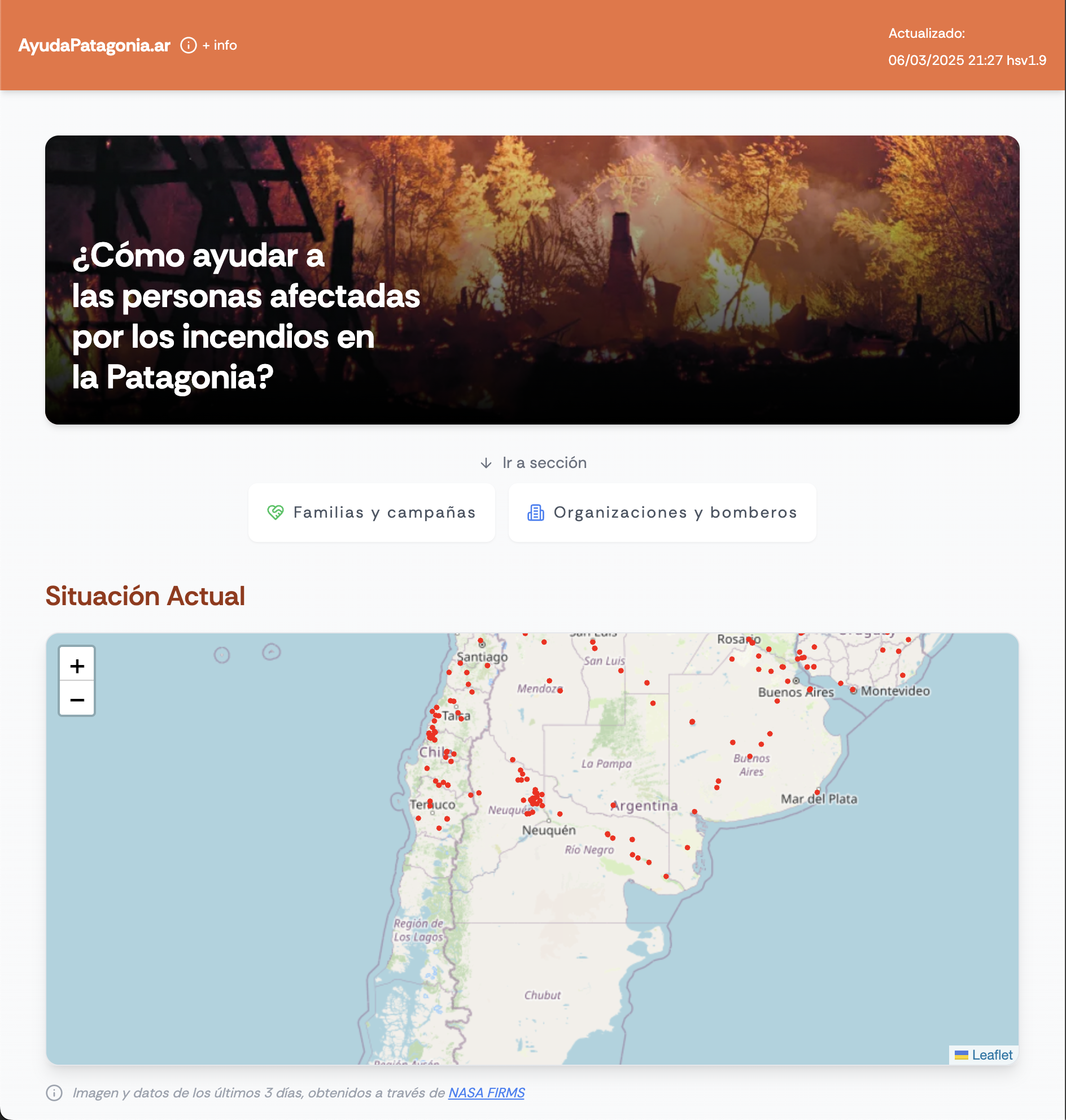
A live map of support points for brigades and families affected by the 2025 wildfires in Patagonia. Built and deployed in 24 hours.
The Context
In early 2025, wildfires devastated parts of Patagonia. Support was fragmented across WhatsApp groups, spreadsheets, and social media posts. Volunteers and citizens didn't know where or how to help.
The Problem
There was no single source of reliable, updated information on where help was needed. Misinformation and overload led to delays, wasted efforts, and unsafe conditions.
Our Take
Instead of adding more noise, I created a simple, focused site that geolocated verified donation points, brigade contacts, and urgent needs — accessible from any device.
The Process
Built with Replit, Google Sheets, OpenStreetMap and NASA FIRMs Data. I coordinated directly and indirectly with volunteers and brigades to verify data and contact points. I designed the UI for speed, clarity, and offline usability, integrating tools like MercadoPago for easy money transfers. I shared it through existing networks and let it grow organically. I implemented the entire project in 24 hours 'vibe coding' it using Claude Sonnet, ChatGPT, and Replit.
The Outcomes
- ✓Used by 40+ brigades and families
- ✓Had a traffic of 5000+ people per day
- ✓Shared by NGOs and community networks
- ✓Proved how fast, simple tools can save time and reduce chaos